
What Kind of Navigation System Should I Use When ATVing?

The ATVing hobby can lead riders to beautiful, remote places they have never been before, and that few have even seen. But getting there and back isn’t always as easy as opening up Google Maps and punching in an address. Remote locations usually come with limited cell service, so knowing where to go means using some kind of dedicated navigation system. Luckily for us, many types exist, with some manufacturers even integrating them into the vehicles themselves.
In some instances a cell phone can in fact serve as an off-grid navigation device, but those options and the depth of their use is limited. Yes, you can download a map to your phone on Google Maps or via other services, but that rarely works well enough to help in instances such as understanding which trail to take when they are very close together to start then split off to do wholly different ways. As such, and so you’re not constantly draining the battery of your phone, a standalone navigation unit is our recommended method here.
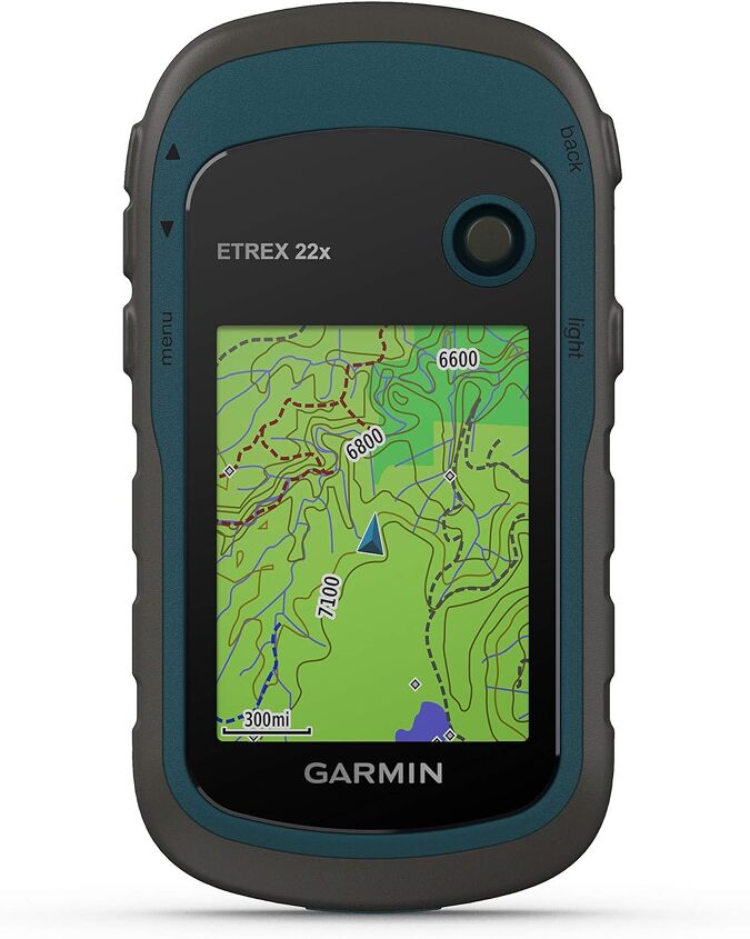
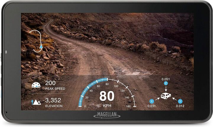
The old go-to is a handheld unit from a reputable company like Garmin or Magellan. These receive signals via satellite which allows for more accurate real-time location and navigation services. They work great for hiking and mountain biking, too, but are particularly helpful for ATVing when the cell service is nonexistent.
Likewise, many dedicated units allow for the downloading and use of existing trail maps, so you can follow along with where you were, where you are, and where you’re going. This is great for running trails at your local club to keep tabs on which trails you have and haven’t ridden on a particular day, and are even better for exploring places you’ve never been before. Simply download a trail map or one for a trail system, and so long as the unit remains powered you can track yourself along the way. It not only decreases your chance of getting lost, but helps you figure out where you are should you still manage to do so. Ask us how we know.
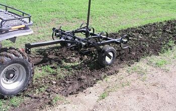
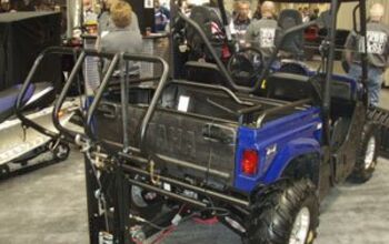
Some of the companies like Trail Tech offer powersports-specific products as well. These waterproof, shockproof kits can be purchased with mounts that best suit a specific vehicle, like the Voyager which comes with a dedicated handlebar-mount setup so the navigation device is right where you can check it on the fly.

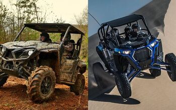
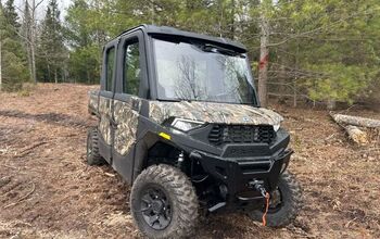
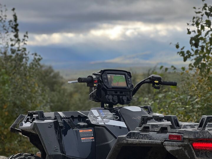
A new-ish and ever-developing piece of tech that the ATV manufacturers offer is built-in navigation. Polaris’ Ride Command is a screen integrated right into the ATV or UTV itself, so you don’t need to add anything aftermarket in order to have navigation services at your fingertips. Better yet, the service has mapped over 1 million miles of trails, so the company has your back in exploring. You can also connect the system to your phone to keep tabs on things when not on the machine itself, or plan out paths and waypoints ahead of time.
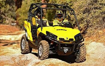
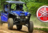
Can-Am, meanwhile, has taken a different tactic and offers “BRP GO!” which effectively serves the same purpose, but without a built-in screen or unit on the machine. The phone app allows for tracking and recording rides, locate friends also logged into the app, search points of interest, and navigate offline when service is limited. Of course, Can-Am also offers the service by way of a built-in screen on some models, but only its premium line of Maverick UTVs (Maverick R X, R X RS, and R X RS with Smart Shox).
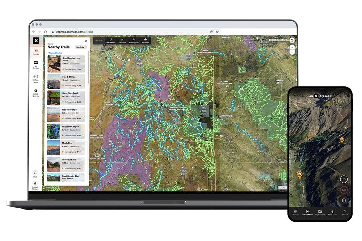
In recent years, there has been a proliferation of mapping and navigation applications available for cell phones. Companies like onX and Gaia offer phone, tablet, and computer-supported software that can be used for route planning and real-time mapping, and they tend to include informational resources for those looking to plan their next adventure. Many of these phone-supported applications allow for Apple CarPlay and/or Android Auto (AA) mirroring. As CarPlay and AA inevitably become integrated into ATVs and UTVs in the coming years, expect to see the software come on board as well. This closes the gap between off-road vehicles and road-legal options like Jeeps even further, but we are here for it.
If all else fails, you can always rely on ‘ol faithful: Paper maps still exist, and don’t rely on any technology or infrastructure other than your ability to read and interpret them to work. While almost nobody is using them these days, we do recommend knowing how to read a map (road and topographic) as a backup, safety plan should it be needed, and carrying along the map for the locale in which you’re riding if it’s not a place you are familiar with.
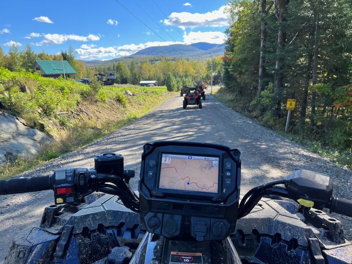
We have used a version of all of these navigation technologies in some form over the years. While nothing can match the raw joy of properly using an old-school folding map, few things are more frustrating than not knowing where you are on one or finding that the supposedly-waterproof bag you had it in isn’t as advertised. As such, we’re more than happy running a standalone unit like the Trail Tech item shown above, and Polaris’ Ride Command is gaining our favor as well as it’s already integrated into the machine. Whatever your preference, we always recommend at least one backup navigation method for redundancy’s sake. You can never be too safe when it comes to exploring new places.
Ross hosts The Off the Road Again Podcast. He has been in the off-road world since he was a kid riding in the back of his dad’s YJ Wrangler. He works in marketing by day and in his free time contributes to Hooniverse, AutoGuide, and ATV.com, and in the past has contributed to UTV Driver, ATV Rider, and Everyday Driver. Ross drives a 2018 Lexus GX460 that is an ongoing build project featured on multiple websites and the podcast and spends his free time working on and riding ATVs.
More by Ross Ballot


![Don't Try This at Home: Jet Ski Pulled by ATV [video]](https://cdn-fastly.atv.com/media/2022/10/24/8744130/don-t-try-this-at-home-jet-ski-pulled-by-atv-video.jpg?size=350x220)